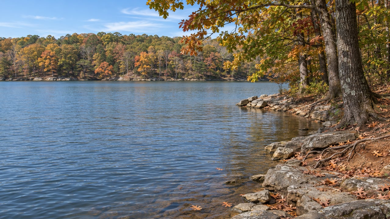
Since March 23, 2026, the Montlake Road entrance to North Chickamauga Creek Gorge State Park has been gated. Tennessee State Parks gave the closure a length of "approximately one year." That covers the main trailhead, the Blue Hole, the Hogskin Loop Trail, Stripmine Falls, and the Cumberland Trail from the main trailhead to Boston Branch Overlook. The state park hasn't changed its address of 354 Montlake Road, Soddy Daisy. Its two open entrances, though, are listed in Dunlap and Signal Mountain. For the rest of this fall and winter, the nearest gorge-country trailhead inside Soddy-Daisy is one the city bought for itself back in 2014.
What the State Is Building at Montlake Road
Tennessee State Parks lists the work as paving the parking area, improving the entrance, adding an ADA-accessible river-viewing pier, and installing a restroom. Local 3 reported that the Blue Hole stays closed for the whole project, with no other changes planned for the swimming hole itself.
The state hasn't announced a reopening day. Counting a year from March 23 lands in late March 2027, but that's arithmetic, not a schedule. The park's safety page is where any update would appear first. It also says the terrain is too steep and rugged for any safe back way into the Blue Hole during construction. A Hamilton County Sheriff's Office post in the Local 3 coverage warned that anyone who tries to get around the closure could face legal action.
The Gorge's Open Doors Are on the Plateau
Two trailheads are still open, and neither one connects to the closed section. Local 3 reported that visitors can't reach any of the closed areas from Barker Pounds or Flipper Bend.
| Open access point | Address | What's there | Keep in mind |
|---|---|---|---|
| Barker Pounds Trailhead | 3767–3771 Barker Camp Rd., Dunlap | Barker Camp Access Road, 1.2 mi. gravel; Barker Camp Access Trail, 1.4 mi. natural surface | Backcountry campers now reserve and check in here |
| Flipper Bend Trailhead | 8290 Hixson Springs Rd., Signal Mountain | Flipper Bend Loop, listed at 3.5 mi. and rated difficult | The park notes the full outing from the trailhead can run longer |
The sheriff's office post says both have limited parking and asks visitors to carpool. It also says the terrain at both can be hard going and asks people never to park on the roadside.
Barker Camp still starts from a familiar road, just a long way up it. These directions come from the Cumberland Trail Conservancy:
- Take Montlake Road past the closed Montlake Road Trailhead, which is 1.2 miles up from the turn, and continue another 3.5 miles to Poe Road. Turn left.
- Follow Poe Road 6.2 miles and turn left onto Grant Road. The CTC warns that this turn comes up quickly.
- Go 0.2 mile and turn left onto Barker Camp Road. Drive 3.9 miles, staying left where it forks with Walnut Grove Road. The last 0.7 mile is gravel.
- Park at the gate without blocking the gate or the road.
From the turn onto Montlake Road, that adds up to 15 miles of driving. The old main lot was 1.2 miles from that same turn.
The City Bought Its Own Gorge in 2014
Big Soddy Creek Gulf sits at 11721 Back Valley Road. It covers 285 acres the City of Soddy-Daisy acquired in 2014, and the city describes it as pristine wilderness with waterfalls, rock formations, and gorge views along Big Soddy Creek. The city's Gulf page lists three trails:
- Jim Adams' Trail. 1.2 miles, easy, with a mostly flat and wide trail bed.
- Board Camp Creek Trail. 0.2 mile, moderate, with steep and rocky stretches. It ends at the Cumberland Trail.
- Miner's Trail. 0.5 mile, moderate, also steep and rocky in places.
That short Board Camp Creek connector matters this year. With the state's main trailhead closed, a city-run park in Soddy-Daisy has a marked trail that ties into the Cumberland Trail.
The house rules are simple. The Gulf is open daily from sunrise to sunset, and entry and trailhead parking are free. There are portable toilets but no water along the trail, so bring your own. Dogs must stay on a leash. Camping, campfires, and ATVs or other motorized vehicles aren't allowed. Visitors with special access needs can call the Soddy-Daisy Police Department at 423-332-3577, and an officer will open the gate. The city's guidelines say there's no lifeguard and swimming is at your own risk. They also list flash flooding and falling boulders among the hazards.
Older guides describe the Gulf differently. Outdoor Chattanooga's 2018 write-up calls the creek walk about a mile long and says there are no restrooms. The city's current page lists 1.2 miles for Jim Adams' Trail and portable toilets on site. The city also announced a new three-trail map, color-coded waypoints that help emergency services find hikers, and a second kiosk near the bridge.
A New City Street Came With the Gulf's Parking Plan
The Gulf had a parking problem before the state closed Montlake Road. In May 2025, Chattanoogan.com reported that visits kept rising and cars were spilling onto the road. In response, the city went after about two acres near the Gulf for an estimated 25 to 30 parking spaces and a bridge. When the two sides couldn't agree on a price, the city authorized condemnation.
Here's how 2026 went from there:
- March 9. Mayor Jim Coleman said a parking-lot extension at Big Soddy Gulf was underway, according to Chattanoogan.com.
- April 16. Commissioners held a public hearing and gave first-reading approval to accept the Jones Gap Road extension as a city street. The city attorney tied the item to the eminent domain case for Gulf parking and said the property had already been taken.
- May 7. The ordinance passed on second and final reading.
Chattanoogan.com reported that the extension would make more parking available at the Gulf. No coverage confirms that all 25 to 30 spaces or the bridge are finished, so check what you find on the ground. The same April report says Kimley-Horn won three city planning contracts, and one of them is a parks master plan. More decisions about how Soddy-Daisy runs its outdoor spaces are coming.
Jones Gap Road Is Also a Cumberland Trail Trailhead
The Gulf's road leads to longer hikes, too. Just off TN 111, the Heiss Mountain Road trailhead starts two Cumberland Trail sections that never pass through the closed part of the state park. To get there, exit TN 111 at Jones Gap Road and turn right away onto Heiss Mountain Road. Roadside parking is about half a mile from the store, and the trailhead is by the guardrail.
- Soddy Creek Gorge North runs 12.1 miles and is rated strenuous. It goes from Heiss Mountain Road to the Little Soddy trailhead at Hotwater Road. The city lists the Little Soddy trailhead at 913 Sluder Lane. The Cumberland Trail Conservancy says to park on the gravel where Sluder Lane meets Hotwater Road and walk about 200 feet back down Hotwater Road to the trailhead. With a car at each end, it's a point-to-point hike.
- Possum Creek Gorge runs 9.5 miles at a moderate grade, from Heiss Mountain Road to Retro-Hughes Road. Little Possum Creek Falls, which hikers nicknamed "Imodium Falls," is at mile 5.1 from the Heiss end.
These are full-day hikes, and neither one replaces a quick afternoon at the Blue Hole. For something closer to that, Jim Adams' Trail is the closer match at 1.2 flat miles. For something even easier, Soddy Lake sits across Dayton Pike from the Soddy Lake Recreation Complex. It has a public fishing pier, picnic areas, and birdwatching, and the complex has a walking track at its ballfields at 150 Depot Street and 105 Durham Street.
Some people meet a friend who's coming from Signal Mountain. Others use the gravel stretch of Barker Camp Road as an excuse to go up to the plateau anyway. For both, Mullens Cove is another option. It's a 9.8-mile moderate loop in Prentice Cooper State Forest in Marion County, with overlooks and fall color, and its trailhead is on Tower Drive. It's a separate Cumberland Trail destination, not a way into the closed gorge.
Two Ranger Hikes on the Gorge Calendar Before Year's End
The state park is still holding programs at its open trailheads. Its night hike is on Saturday, October 24, from 7 to 9 p.m. It meets at 3771 Barker Camp Road in Dunlap, costs $5, and covers about five miles. The After Thanksgiving Day Hike is on Friday, November 27, from 9 a.m. to noon, at the same address. Both start at Barker Camp, the trailhead the state is relying on until Montlake Road reopens.
The Soddy-Daisy side of the gorge is still open at the Gulf. Big Soddy Creek Gulf is at 11721 Back Valley Road and opens at sunrise.
At Kyle Johnston, we like keeping up with changes like this one, from a trailhead closing to a new city street going in. If you're thinking about how places like Big Soddy Gulf or the Cumberland Trail fit into where you live in north Hamilton County, we'd be glad to talk it through, no pressure. Let's Connect.